Think in regions
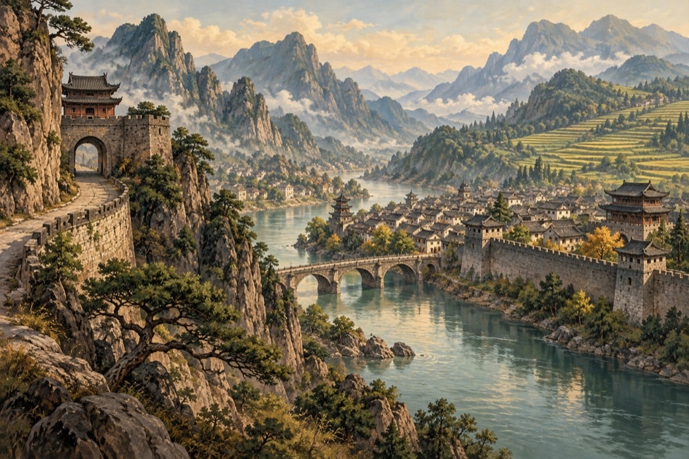
China’s scale rewards regional planning. The northern plain and Beijing connect imperial capitals, long-settled agricultural landscapes and routes toward the Great Wall. The lower Yangzi links cities, canals, gardens and water towns. The southeast coast opens onto maritime trade histories, while the southwest contains karst landscapes, river valleys and culturally diverse uplands.
Farther west, the Hexi Corridor and Xinjiang preserve routes associated with Silk Road exchange. Qinghai and the Tibetan Plateau require attention to altitude and long distances. A region-first approach leaves room for slower travel and makes connections among landscape, food, architecture and history easier to see.
Cities as historical layers
Beijing, Xi’an, Nanjing, Luoyang, Kaifeng, Hangzhou, Suzhou, Guangzhou and many other cities carry different periods of political and commercial importance. A city is not only a collection of monuments. Street patterns, waterways, markets, industrial districts and later neighborhoods reveal repeated expansion and rebuilding.
Good preparation identifies the period and function of a site before arrival. An imperial palace, a temple complex, a treaty-port building and a twentieth-century factory district ask different questions. Museum collections and local interpretation can help connect surviving structures to what no longer stands.
Landscapes and protected heritage
China’s UNESCO-listed properties include cultural, natural and mixed sites. The list ranges from archaeological and architectural ensembles to mountain landscapes, caves, wetlands and protected habitats. UNESCO’s state-party page provides a verified starting point for names and inscription context.
Listing is not a promise of an uncomplicated visit. Conservation, resident communities, crowding, transport and environmental pressure can all affect a place. Travelers should distinguish heritage significance from tourism promotion and treat protected landscapes as lived environments rather than scenery alone.
Maps, seasons and practical context
A durable travel reference explains distances, terrain and seasonal patterns but does not pretend to supply live weather. Rail and air networks make long routes possible, yet travel time within cities and scenic regions can still be substantial. Maps should be checked for scale and for the administrative level they show.
Entry rules, tickets, opening arrangements and transport timetables change, so this page does not reproduce them. It also contains no hotel booking or commercial recommendation. Readers should verify practical details with responsible current sources when planning an actual journey.
Travel as a way into the index
A route through Lhasa leads into Tibetan language, Buddhism and plateau geography. A visit to a grotto or museum opens questions about translation and artistic patronage. Terraced fields connect landscape with water management and rural reform; a regional meal connects ecology with migration and trade.
Use the travel page as a hub rather than an endpoint. The linked arts, agriculture, food and people pages give the background that turns an itinerary into historical understanding.
Sources & further reading
- UNESCO’s list of World Heritage properties in China — Heritage planning